Section 03
Consider the natural and human activities that can impact water quality.
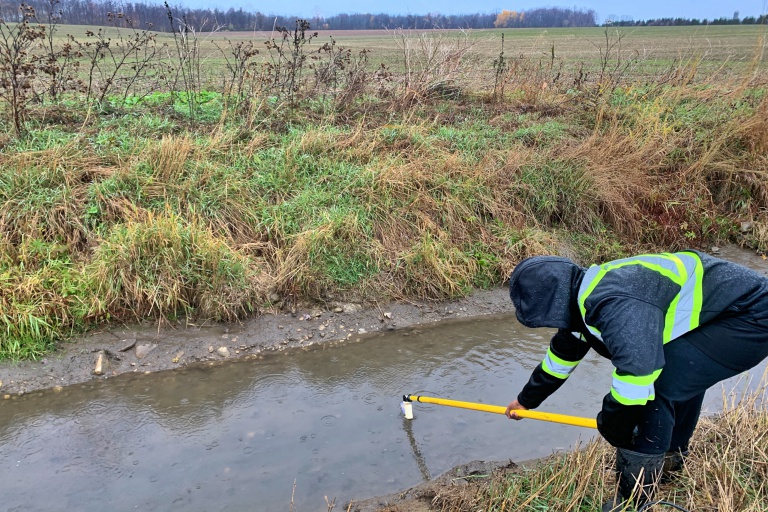
Understanding land use in a watershed helps experts determine where impacts on water quality may originate.
At the Ohio/Indiana border the elevation of the Maumee River is 707 feet above mean sea level. At Maumee Bay the river is 573 feet above mean sea level, dropping an average of 1.3 feet per mile. The steepest section is between Waterville, Ohio and Maumee, Ohio at 5 feet per mile.
Click map to view larger
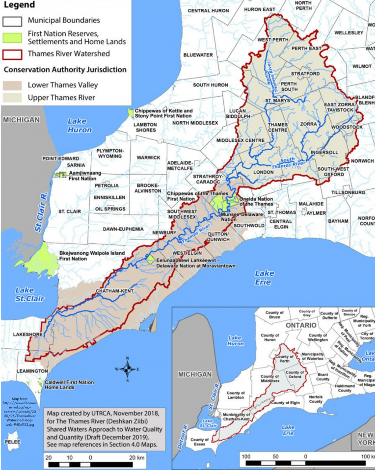
In this example, what direction is the water flowing?
How can you tell?
What other substances may travel with the water as it moves through the watershed?
What research, strategies and technologies can farmers use to help protect water quality?
Many people, including legislators, conservation groups and farmer organizations, are working on solutions. Which efforts will be effective?